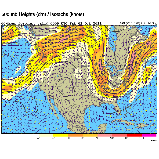
A pretty sizable pattern change is shaping up for the entire Southeast that will result in some very seasonable fall weather. A large upper-level low that's been spinning over the Great Lakes for the past few days will be replaced by another trough that should dig even deeper than the current one. At the surface this will push quite a cold front through the region on Friday, which will bring in much drier air from the northwest and cooler temperatures. We're talking dew points into the 40's (60 is considered humid) over the weekend with overnight lows getting into the 40's in most locations around Mississippi and Tennessee. It will take until the middle of next week to regain some of the humidity as this trough moves east and a ridge builds in. Until then, enjoy the clear, crisp, and cool days ahead!
Be sure and tune in to Good Morning West Tennessee on WBBJ ABC 7 this Saturday at 6 and 8am for my latest West Tennessee forecast. Should be a very nice weekend!
Last night there were four reports of tornadoes in Bolivar County, Mississippi. These were probably caused by two distinct tornadoes, one near Benoit and another that caused substantial damage to two department stores and a subdivision in Cleveland. Any severe weather that occurs today as a cold front pushes south will likely stay near the I-20 corridor, so Starkville and the surrounding area should continue to see some pop-up spots of drizzle and mist throughout today and tomorrow. This front will stay stationary tomorrow, but once it pushes out of the region by Wednesday we'll clear out the clouds and drizzle here in Starkville. Check the video below for more details:
Yesterday I did weather on the 6am and 8am Good Morning West Tennessee shows and the 6pm and 10pm newscasts at WBBJ. It's always great to be able to fill-in for other shows, but boy I was bushed after such a full day, especially since I'm still recovering from a bout with bronchitis! The forecast was a bit of a challenge since rain showers unexpectedly formed yesterday well ahead of the cold front that is to pass through early tomorrow morning. Severe storms are still expected this afternoon around West Tennessee and then things should clear out nicely for the workweek. Check out the videos below to see a couple samples of my forecasts from yesterday.
This weekend's shows were a bit different visually because they were produced from our brand new control room (see below) inside our just-completed sales and production building. All the new equipment allows us to now broadcast in-studio camera shots in 16:9 widescreen, so you're getting a much fuller picture compared to what we had before. The studio and newsroom are both under heavy construction right now, so you'll likely see some major changes in those in the coming months too. We're all pretty excited to see what the future has in store for the station!
After seeing some showers this morning, more rain in on its way to Starkville. Scattered showers and storms will continue through tomorrow with a small break thrown in on Tuesday evening before more storms push through on Wednesday and Thursday. Check out your latest forecast in the video below:
We saw a few showers across West Tennessee this morning, but as expected they've mostly cleared out of the area for the afternoon. More showers are possible tomorrow, but the big show (relatively speaking) arrives on Monday with some appreciable rain chances as a cold front approaches the region. Check out my forecasts from last night's 10pm show and this morning's Good Morning West Tennessee newscast on WBBJ below:
Those pop-up showers and storms around North Mississippi yesterday won't see the light of day this afternoon, leaving us with warmer temperatures and sunny skies. Tomorrow will be the same story, but Wednesday will be a transition day of clouds and a small chance for rain as a cold front approaches the region. The end of the workweek, which includes a football game against LSU on Thursday, could be a bit wet as the front pushes through. Check out your latest Mississippi State forecast in the video below:
All is quiet in West Tennessee save for some scattered showers and possibly a storm that could form later this afternoon. Tomorrow's forecast looks fairly similar with temperatures running a couple degrees or so warmer. Once Monday rolls around, the upper-level low causing these shower chances should move east out of the area and completely sunny skies will take over. Rain chances will increase yet again during the middle part of next week. Check out the video below for a complete forecast:
I want to give a shout-out to anchor Will Nunley, who is leaving WBBJ today for other opportunities.
The tropics are active this weekend, but not for the United States. Tropical Storm Nate is tracking into Mexico and Tropical Storm Maria is recurving out to sea on what is historically the peak of hurricane season in the Atlantic. The season runs until November 30th.
Yesterday we began airing Good Morning West Tennessee for an additional hour starting at 8am. This means the Saturday show is now two hours, from 6-7am and again at 8-9am with Good Morning America airing in between. The forecast for West Tennessee still looks very wet today into tomorrow because of Tropical Storm Lee, but I think the rain should clear out as Labor Day rolls along. Check out some video from yesterday's broadcast below:
Lee is just hanging on to tropical storm status and should be downgraded to a depression later today as it moves inland. Just because it's weakening doesn't mean the risks from it will go away. Portions of Central Mississippi (I'm talking to you Starkville), Alabama, and even up through the Appalachian Mountains in North Carolina could see over eight inches of rain between now and Tuesday. Flooding is obviously a concern, so use caution while driving in these areas. Turn around, don't drown!
Tornadoes are also continuing a problem with Lee. There were 10 reports of tornadoes yesterday, some causing damage, along the Gulf Coast from Louisiana to Florida. Two tornado watches are in effect with about a half dozen warnings in them from Mississippi to Florida. The tornado risk from Lee should lessen as it continues to come onshore tonight and tomorrow.


 Yesterday I did weather on the 6am and 8am Good Morning West Tennessee shows and the 6pm and 10pm newscasts at WBBJ. It's always great to be able to fill-in for other shows, but boy I was bushed after such a full day, especially since I'm still recovering from a bout with bronchitis! The forecast was a bit of a challenge since rain showers unexpectedly formed yesterday well ahead of the cold front that is to pass through early tomorrow morning. Severe storms are still expected this afternoon around West Tennessee and then things should clear out nicely for the workweek. Check out the videos below to see a couple samples of my forecasts from yesterday.
 This weekend's shows were a bit different visually because they were produced from our brand new control room (see below) inside our just-completed sales and production building. All the new equipment allows us to now broadcast in-studio camera shots in 16:9 widescreen, so you're getting a much fuller picture compared to what we had before. The studio and newsroom are both under heavy construction right now, so you'll likely see some major changes in those in the coming months too. We're all pretty excited to see what the future has in store for the station!


