
 |
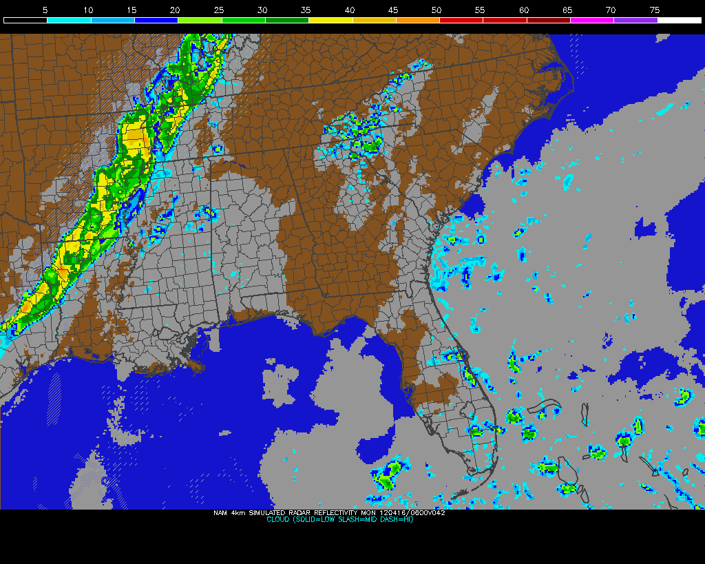
| Sunday Night storms on NAM Model |
 A potent severe weather outbreak is just getting started in the Plains right now. Areas from Nebraska to Oklahoma are under a rare High Risk of severe weather from the Storm Prediction Center and violent tornadoes are expected this afternoon and evening. Already we've had quite a few reports of tornadoes touching down and doing damage in Kansas this afternoon, and more of the same can be expected as this system pulls more moisture northward and destabilization continues. On the left you'll see the latest EHI chart from the SPC, which is a measure of helicity (spinning motion in the atmosphere) and instability. This is a decent indicator of where the strongest tornadoes could form. It's really ramping up with values as high as 7 in Oklahoma right now, but those values are expected to increase and possibly move northward this afternoon and evening into Kansas and Nebraska.
Be sure and join me again on WBBJ for 7 Eyewitness News at 6 and 10pm tonight!
No comments:
Post a Comment