***10:15pm Update***
Snow and sleet are falling simultaneously at my house in SE Louisville near Fisherville with reports of snow/sleet/freezing rain coming in all over Kentuckiana.Helpful Tip: It's sometimes hard to tell what type of frozen precipitation is falling because it's dark outside. If you're having a hard time trying to determine what's falling, stick a flat object like a tupperware lid, book, magazine, or pan out your door for a few seconds and then bring it inside or under a light source quickly. If it's all wet, you're experiencing freezing rain, any ice pellets on there are sleet, and of course you'll be able to pick out the snowflakes visually. Be sure to do this very quickly so that you're able to inspect the accumulated precipitation on your flat surface before it melts!
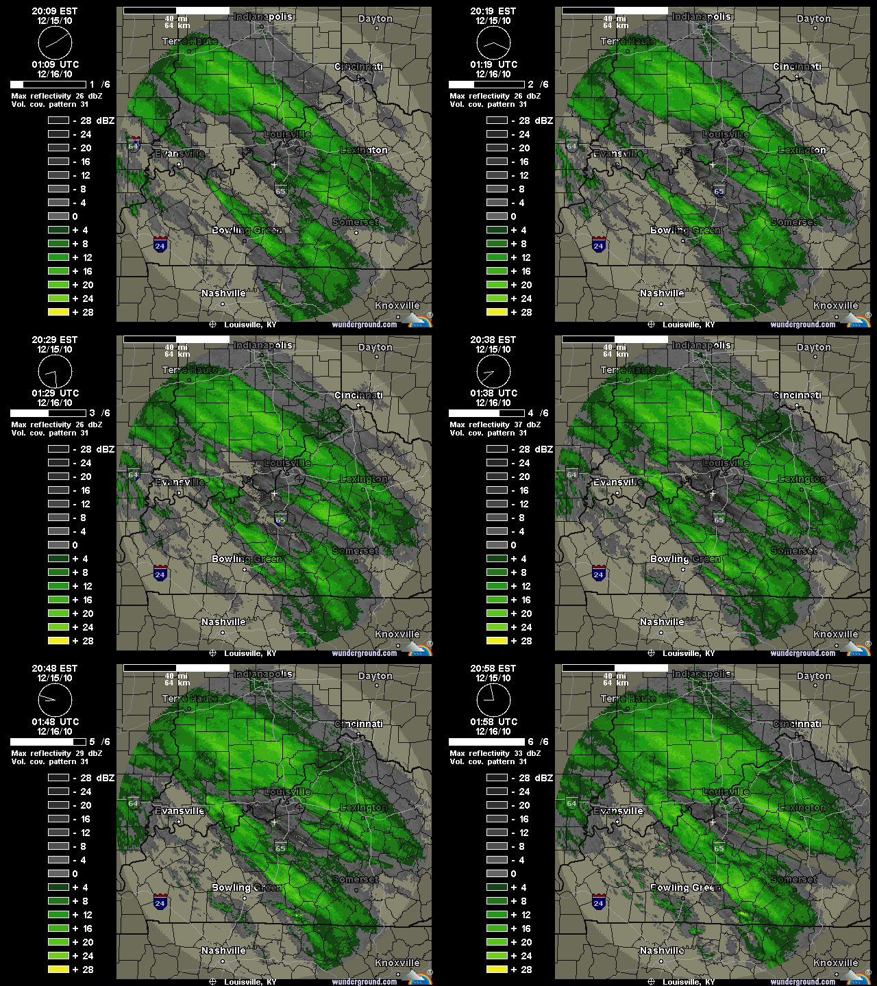
Precipitation is breaking out across Kentuckiana and reports of snow and sleet falling are coming in from those areas you see with precipitation on radar below:
The bands of precipitation to the southwest of Louisville are filling in quite quickly and we'll see those come into the Metro area within the next hour or two. We're still on track for 1-2" of snow before 1am tonight, but a few of the short-range models are indicating a 2-4" accumulation in Louisville if these snow/sleet bands fill in and set up well. We'll see if that happens, but for right now all eyes are on the radar. The snow and sleet will eventually turn in to freezing rain sometime between 1am and 2am here in Louisville, but areas to our northeast across the Ohio River in Indiana will most likely stay all snow and sleet and see accumulations over six inches in some cases. Areas to the south and west of Louisville like Elizabethtown, Bowling Green, etc will have little snow and see mostly sleet and freezing rain tonight. The good news for them is that surface temperatures have a good shot at getting above freezing later on tomorrow, whereas here in Louisville and points north that probably won't be the case.
 I'm getting lots of questions about schools being open tomorrow and right now I can't supply a definite answer. Locally in Louisville I think the side roads and streets will be dangerous tomorrow morning (4-10am), so that will probably be a strike against schools being open tomorrow. Road crews are hard at work on interstates and major roads, but we'll see how surface temperatures cooperate with that overnight. Areas to our north with the heavy snow will also see many cancellations. This is still very much a "wait and see" game right now, but it's not looking too good for us weather-wise at the moment.


No comments:
Post a Comment